One source for all outdoor planning.
Tracks, elevation gain, weather, transport, water points, refuges and timetables live on disconnected sites and apps. triPulse brings them together in a single coherent experience, calibrated to the level and time of the traveler.
triPulse OUTDOOR — Here's how we support those who walk, cycle and explore:
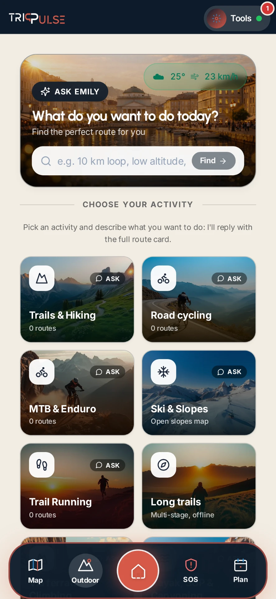
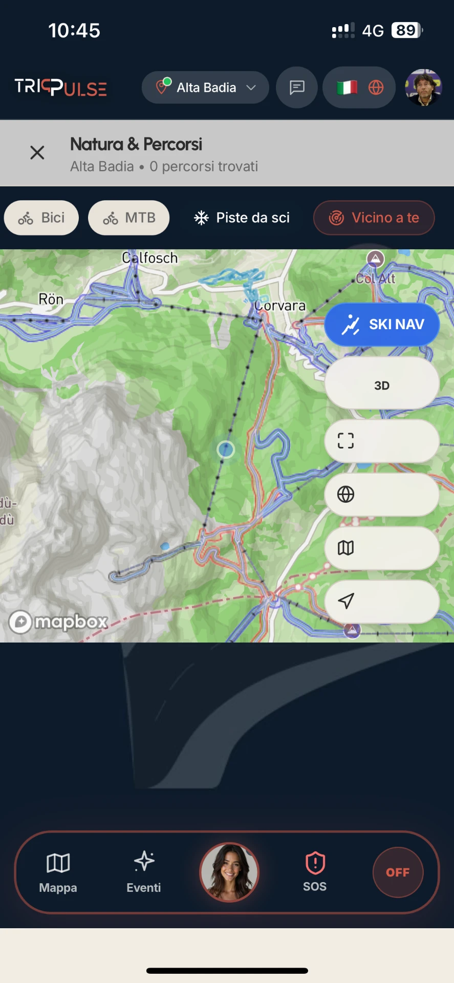
Walks, trekking and cycling in a single tool
Walking, cycling and high-altitude itineraries with difficulty, duration, elevation gain and points of interest along the route. Each proposal is built on the real territory and remains consultable even on the move.
- —Walking, cycling and mountain itineraries
- —Declared difficulty, duration and elevation gain
- —Points of interest and stages along the route
- —Customized content with the identity of the territory
Sky Navigator: recognize what's in front of you
Unique in its kind: by framing the horizon, the app recognizes and describes peaks, valleys, and notable points. In the mountains, it becomes a tool for orientation and landscape interpretation.
- —Recognition of peaks and notable points
- —Real-time landscape interpretation
- —Immediate on-site orientation
- —Storytelling of the territory while walking
Weather, conditions and alternative plan
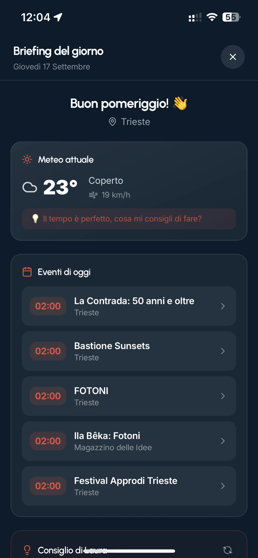
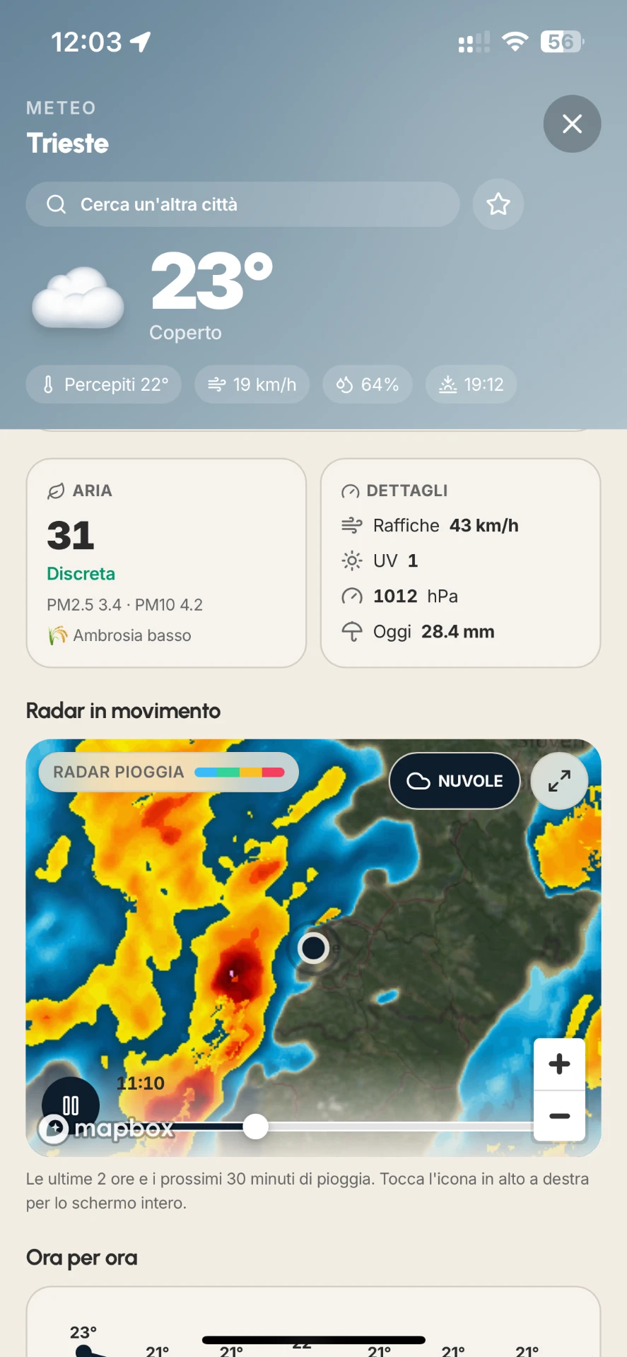
Forecasts, rain radar, and local conditions help decide whether to leave, change route, or postpone. When the weather changes, triPulse suggests consistent alternatives nearby.
- —Local weather and rain radar
- —Alternatives when conditions change
- —Available transport and connections
- —Informed decisions before departing

Learn how triPulse elevates active tourism in your territory or facility.
Request a call →